June 28, 2015 - North Carolina Form Clinic
|
|
It's Friday morning and I'm heading south for the annual North Carolina Formation Clinic hosted by Team AeroDynamix. I missed last year because of a burnt exhaust valve in my engine. I was determined to make it this year. Things started at noon. The weather wasn't the best -- a low ceiling -- but if I could make it down to the Patuxent River area it would be clear. I was flying by myself -- the only RV from the Mid-Atlantic area this year.
Here I'm cruising down the Eastern Shore, just west of St. Michaels. The ceiling was 1,000-something feet. Not bad, really.
|
| |
 |
|
|
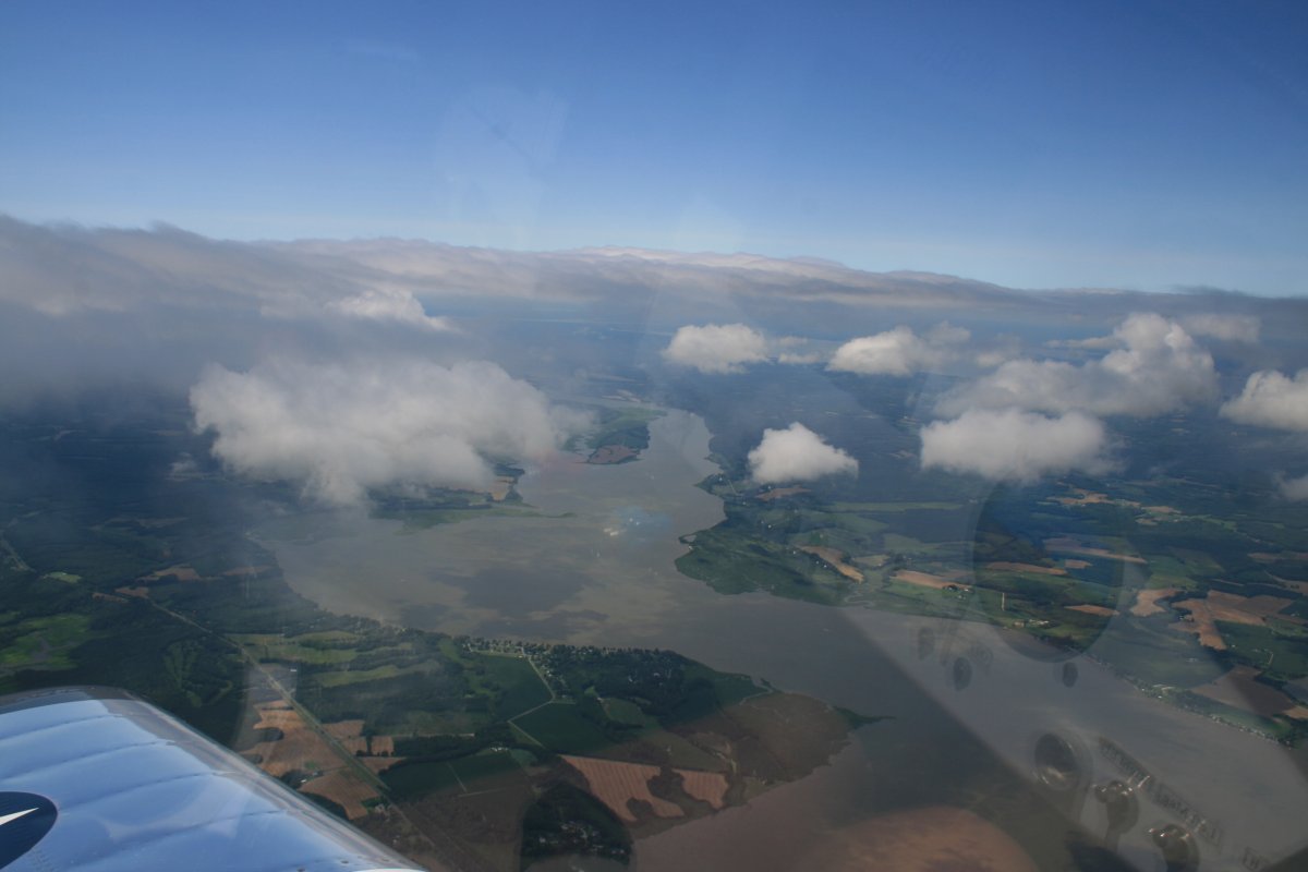
Cruising over Tilghlman Island.
|
| |
 |
|
| From Tilghman Island I turned southwest and crossed the Chesapeake Bay. Per the weather brief, the overcast was breaking up and I was able to climb some. |
| |
 |
|
|
The sun made an appearance south of Patuxent River. I thought I was home free.
|
| |
 |
|
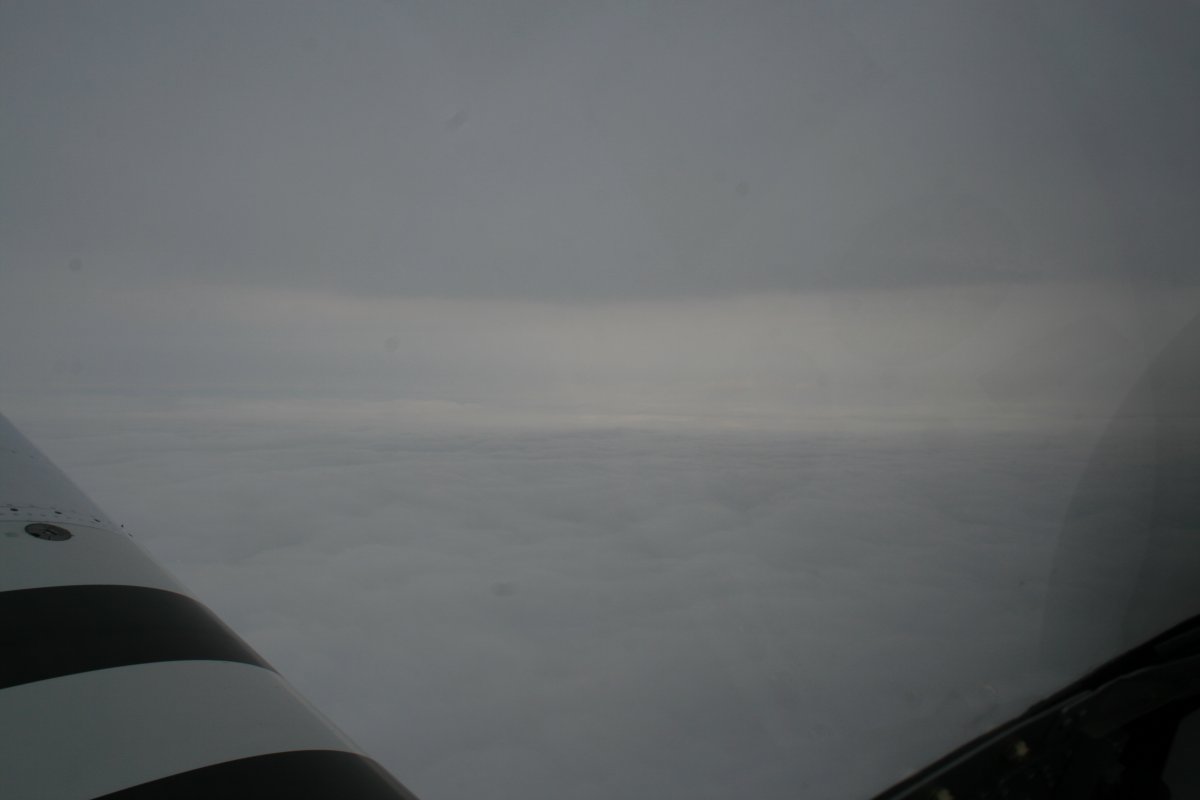
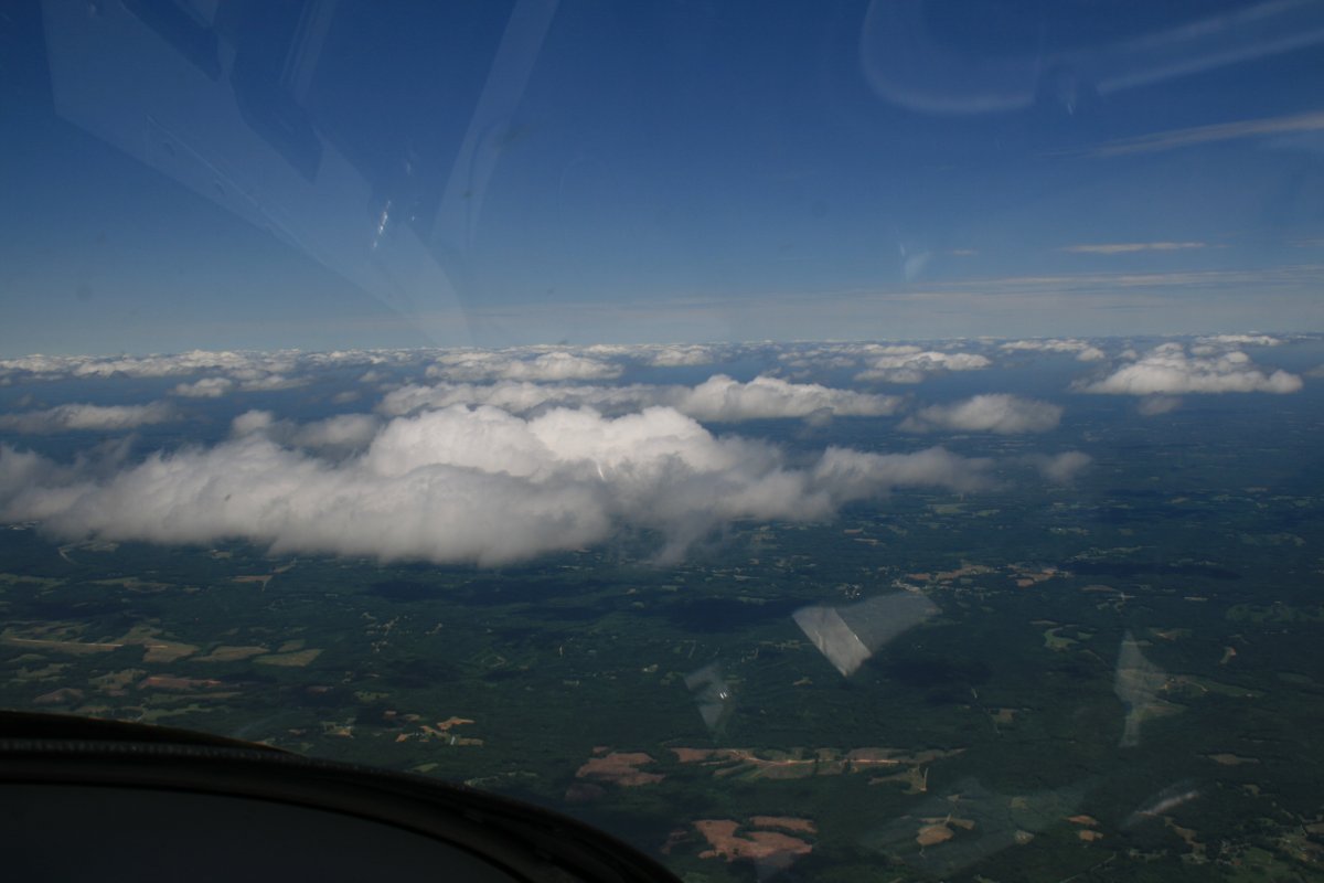
| I spoke too soon. North of Richmond it started clouding up again. |
| |
 |
|
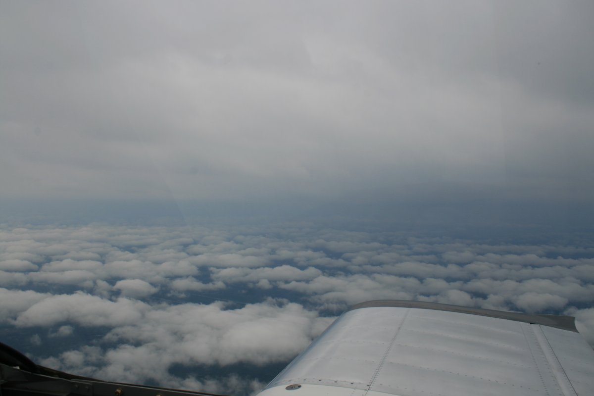
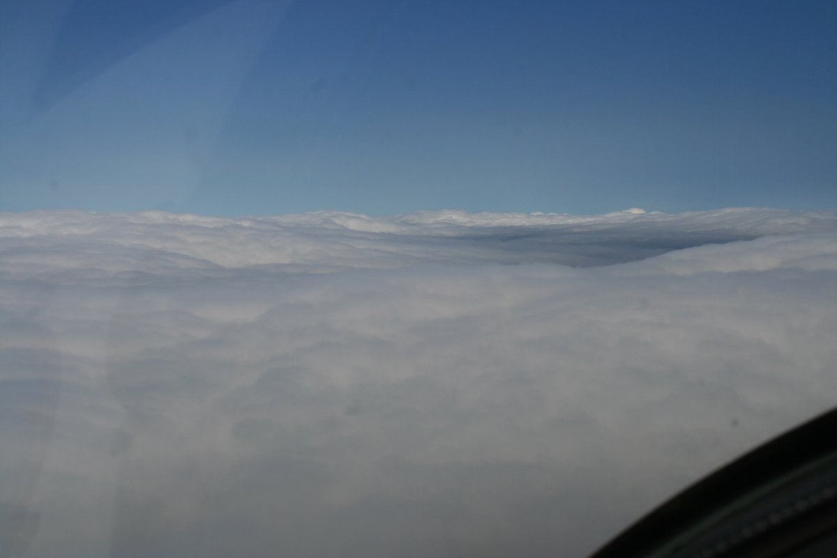
| A layer below and a layer above. But it was fine in between. I knew from my XM Satellite Weather it was sunny and clear not so far ahead so I pressed on. |
| |
 |
|
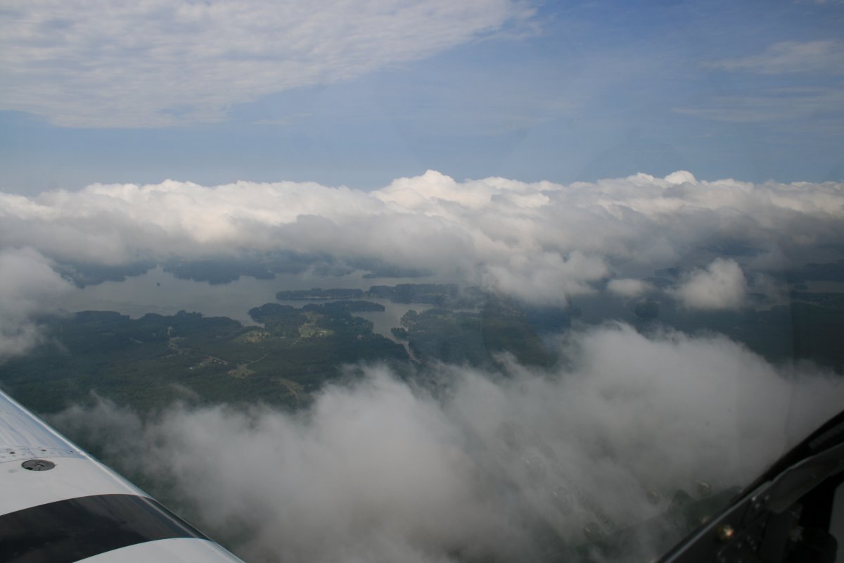
| Sure enough, south of Richmond the clouds started breaking up again. |
| |
 |
|
|
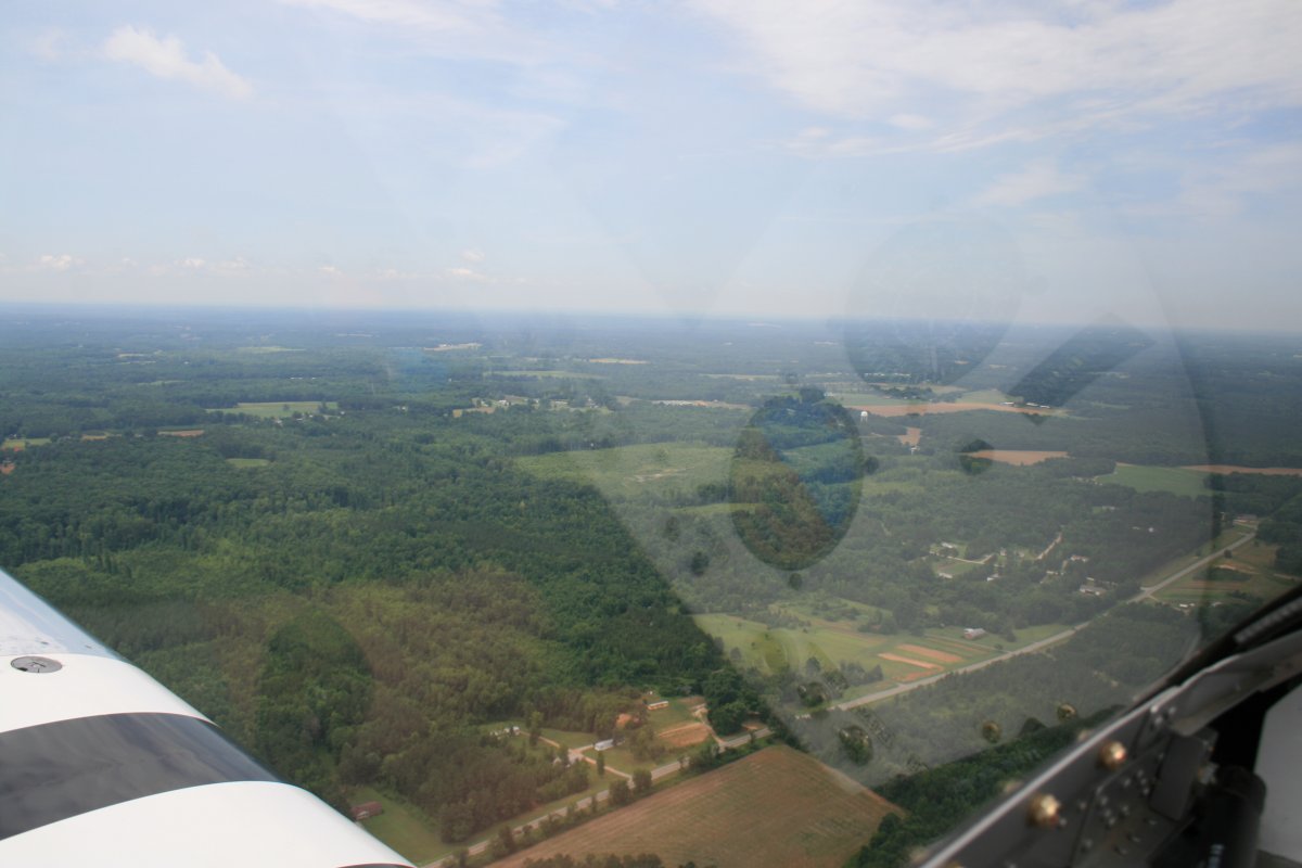
And then the clouds were gone for good.
|
| |
 |
|
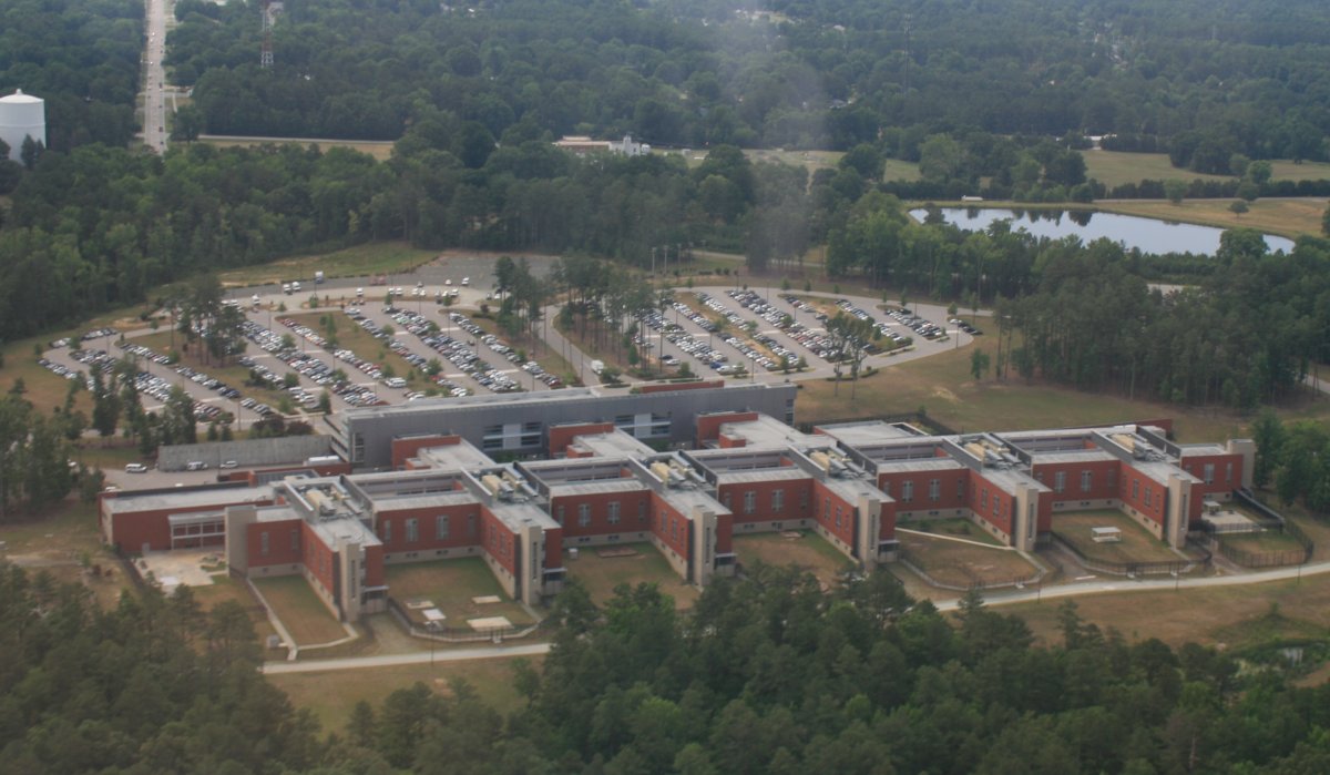
| North of Raleigh-Durham I encountered a massive prison complex. First there was this old-fashioned prison building. Sort of reminds me of Bancraft Hall at the Naval Academy. LOL. |
| |
 |
|
|
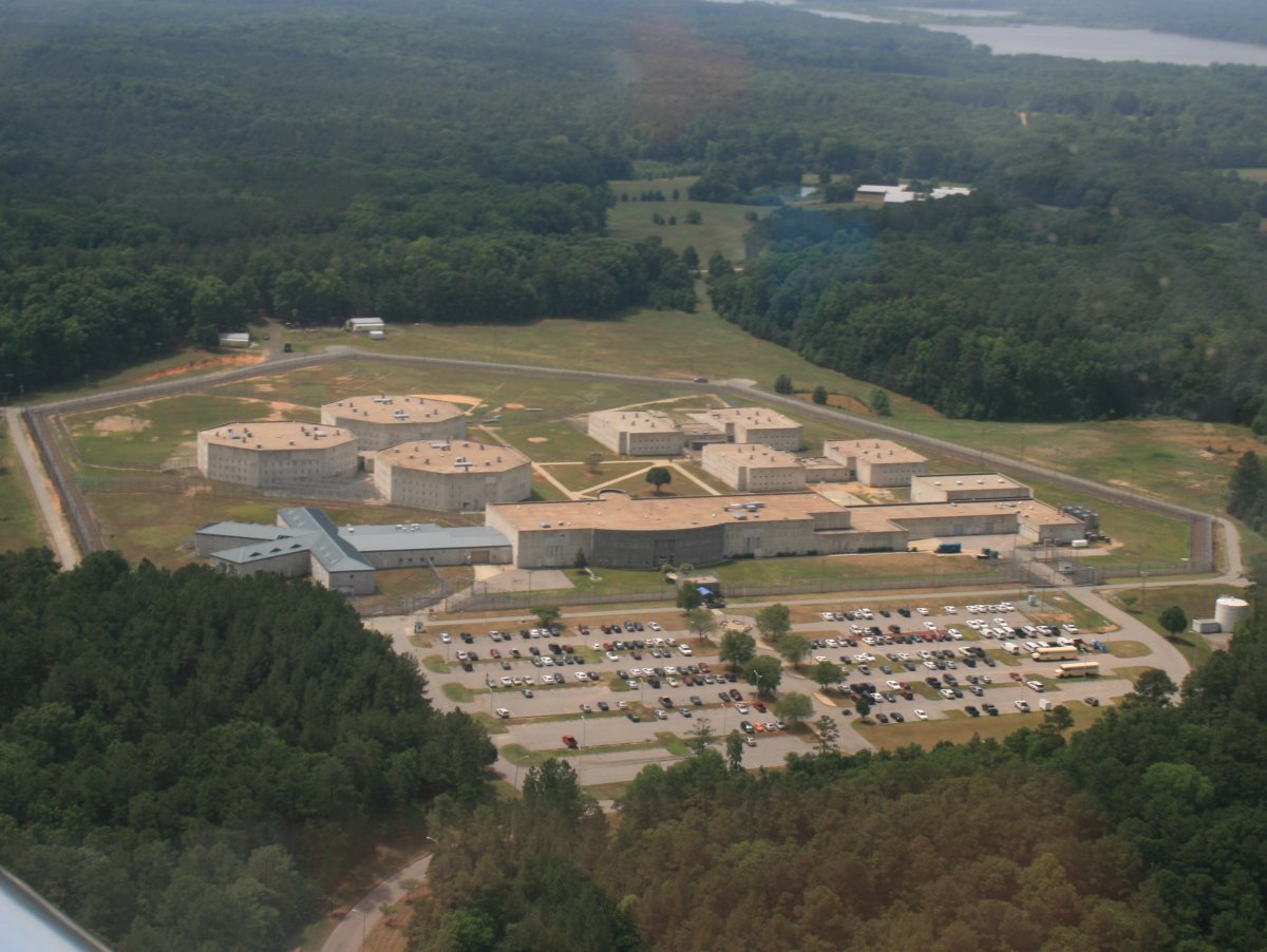
Close by was this newer-style prison.
|
| |
 |
|
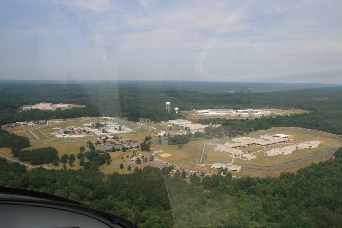
| Just a little further south was yet another prison complex, this one massive. Three separate prison complexes in one supercomplex! |
| |
 |
|
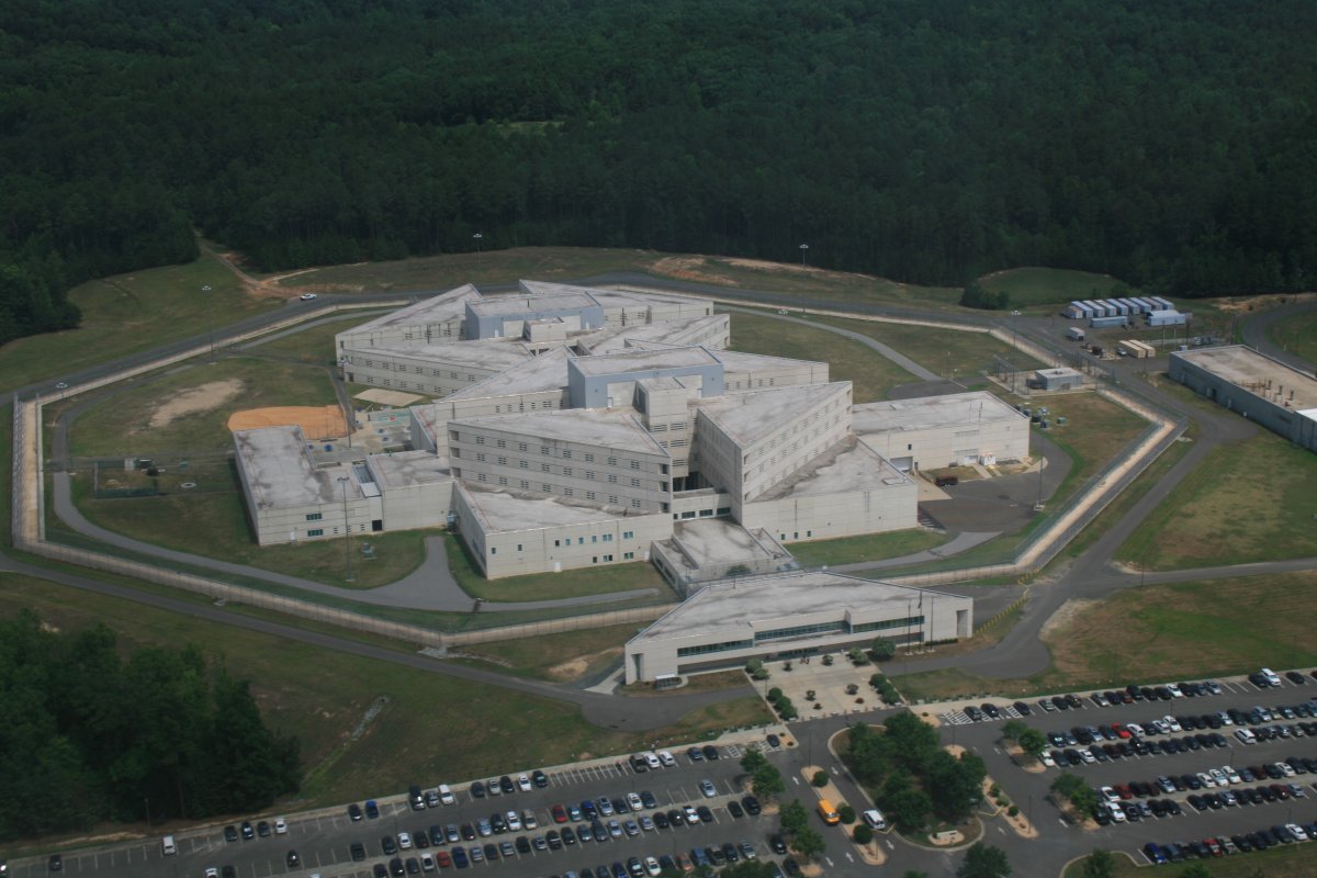
| A close-up of one of them. |
| |
 |
|
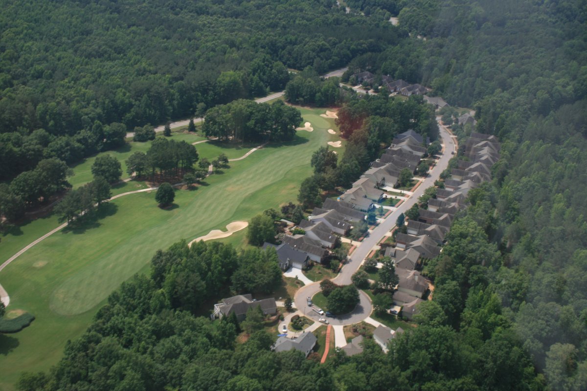
| Nearby was somewhat better accomodations: a golf course community. |
| |
 |
|
|
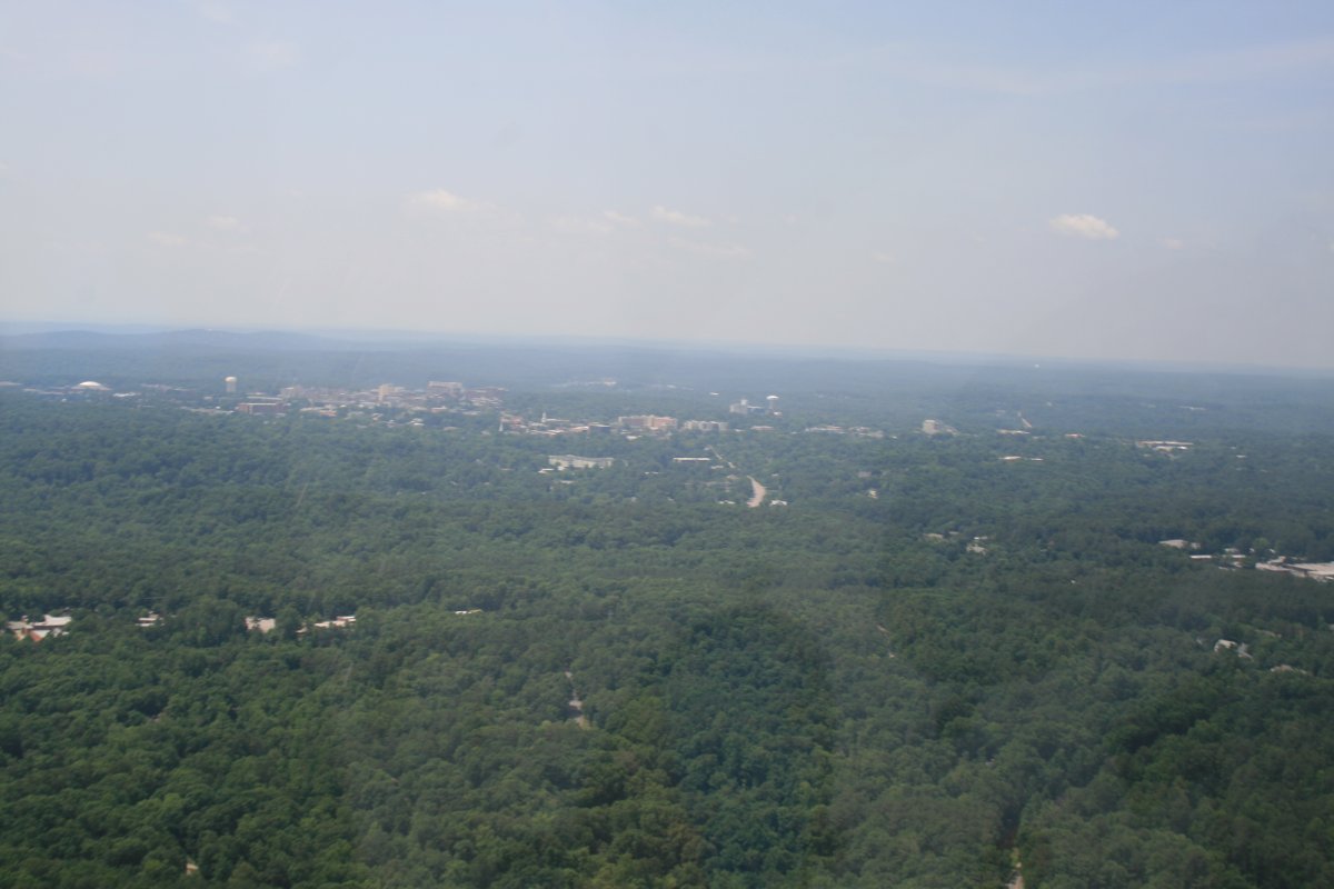
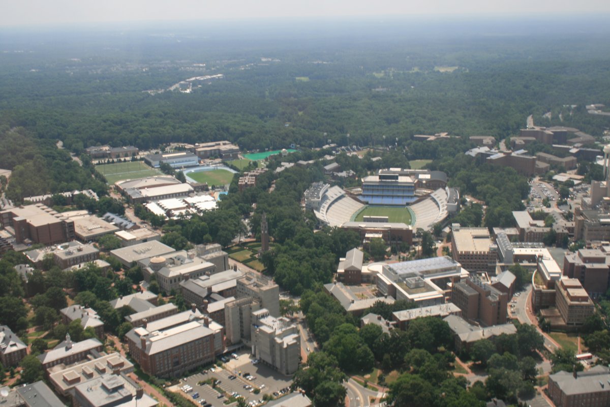
I noticed on the chart that Chapel Hill was just ahead. Of course I knew that the University of North Carolina is in Chapel Hill, but I really had no idea where Chapel Hill was. Now I know. From the air, you can see that it really is on a hill.
|
| |
 |
|
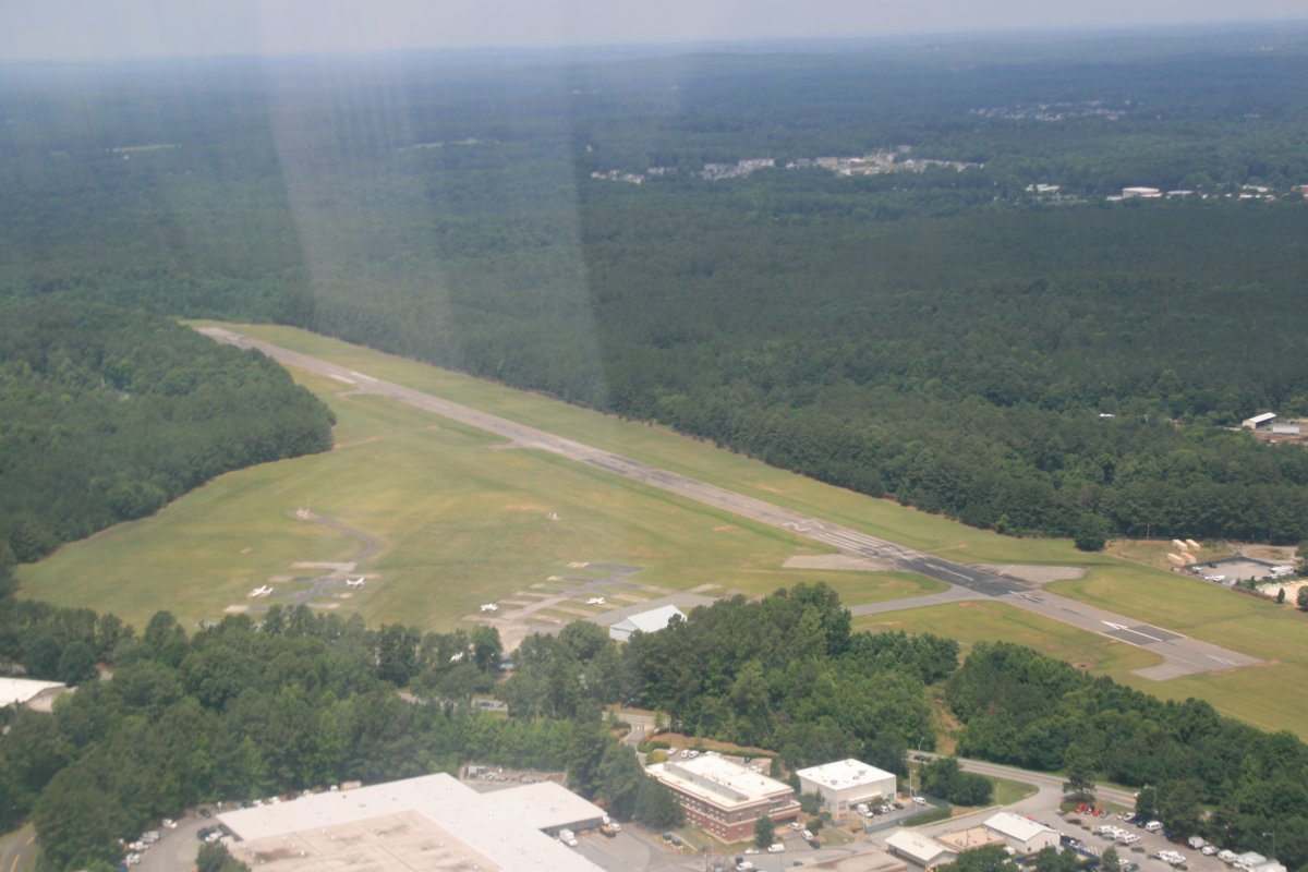
| Passing by Horace Williams (IGX) airport at Chapel Hill. |
| |
 |
|
|
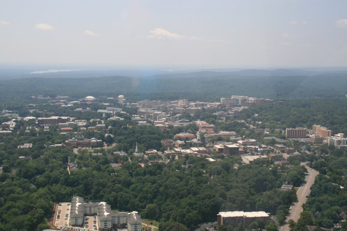
Obviously, Chapel Hill is a college-town, deserving to be checked out from the air.
|
| |
 |
|
| Of course, every University must have a -- large -- football stadium. Even North Carolina, which is better known for its great college basketball program. |
| |
 |
|
| |
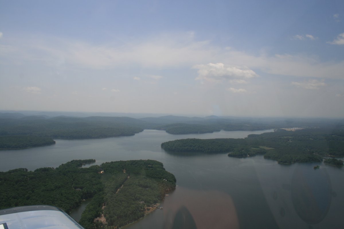
| Flying over Big Badin Lake just prior to reaching my destination: Stanly County Airport (KVUJ). |
| |
 |
|
|
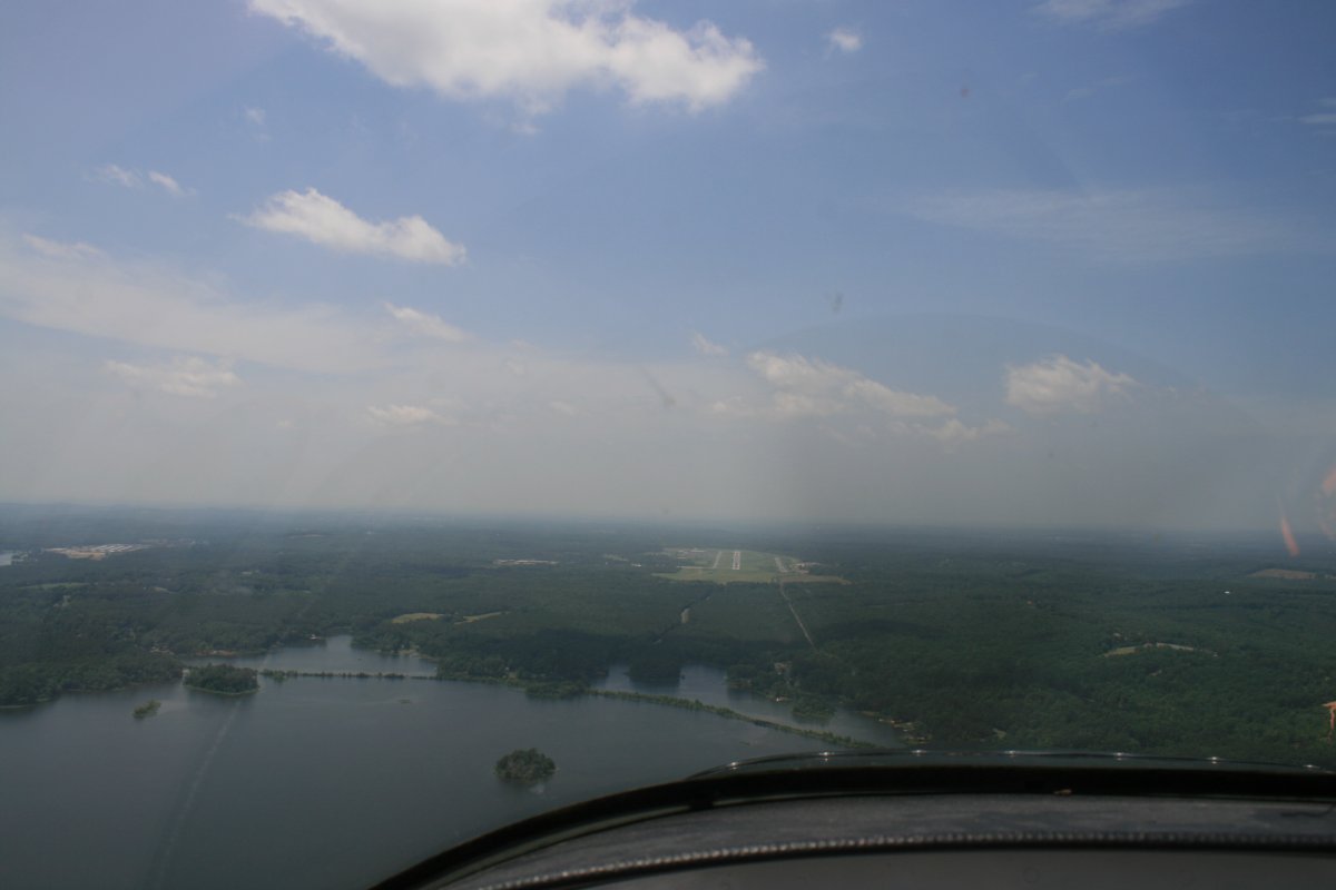
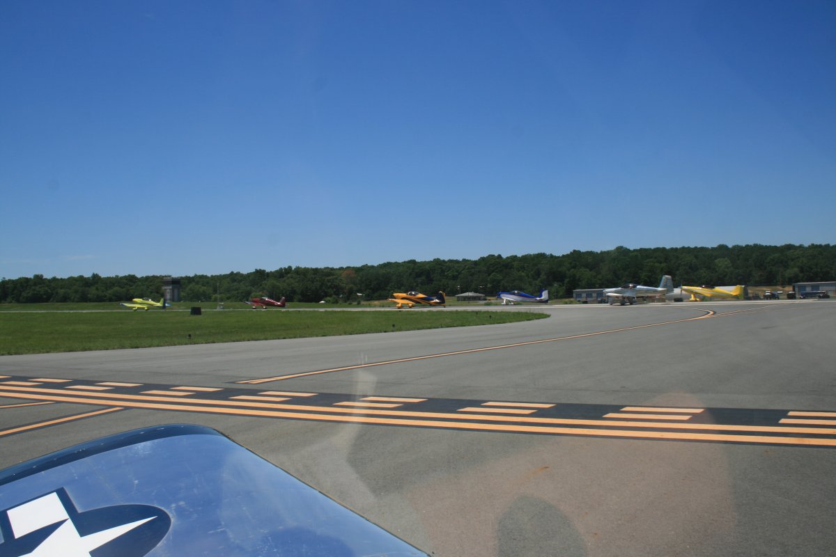
Approaching the two mile Initial Point prior to an overhead break at Stanly County. You have to do an overhead break. It's a form clinic!
|
| |
 |
|
|
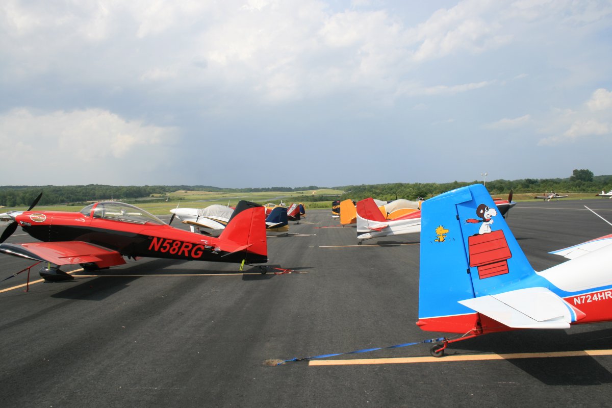
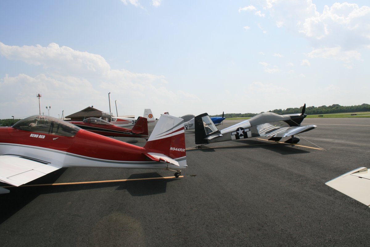
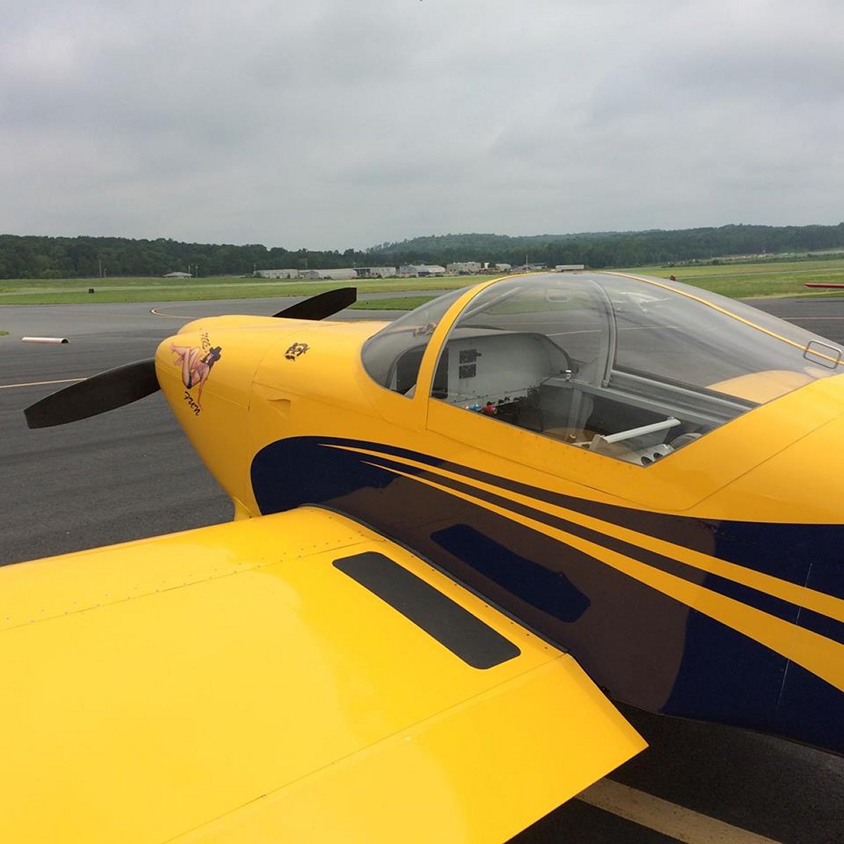
Lots of RVs on hand. Over 40 were at the clinic.
Lunch was provided, then it was time to go flying. My first flight was as a wingman in a 4-ship with "Legs" as lead. I also had a passenger; another RV pilot who was going on his first formation flight. My second flight was as a safety pilot in an RV-7 piloted by a guy flying his first form flight as a pilot. Let's just say it was not a boring flight.
Once the flying was done, there was a 2-3 hour formation flying brief for the new guys. Smokey gave the experienced guys a brief on flying aerobatic competition in an RV which was interesting. Pizza arrived halfway through.
|
| |
 |
|
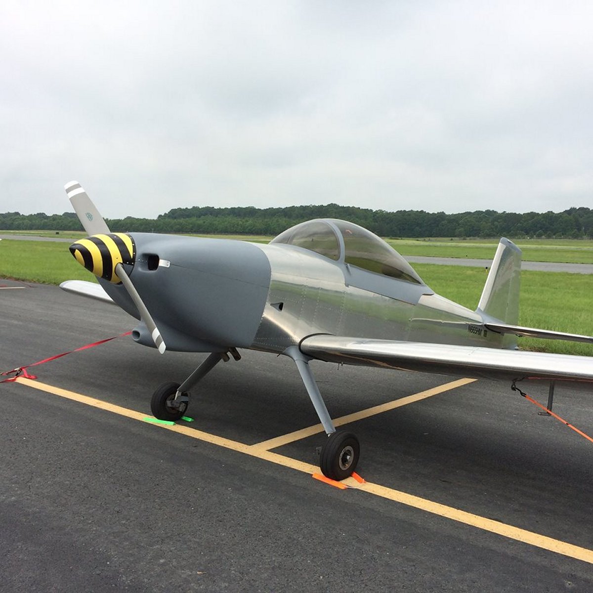
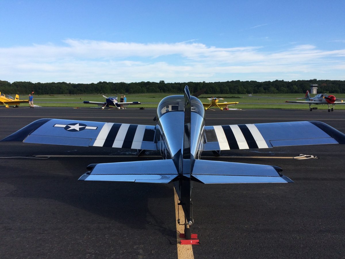
| My trust steed tied down and put away after a good flying day. |
| |
 |
|
|
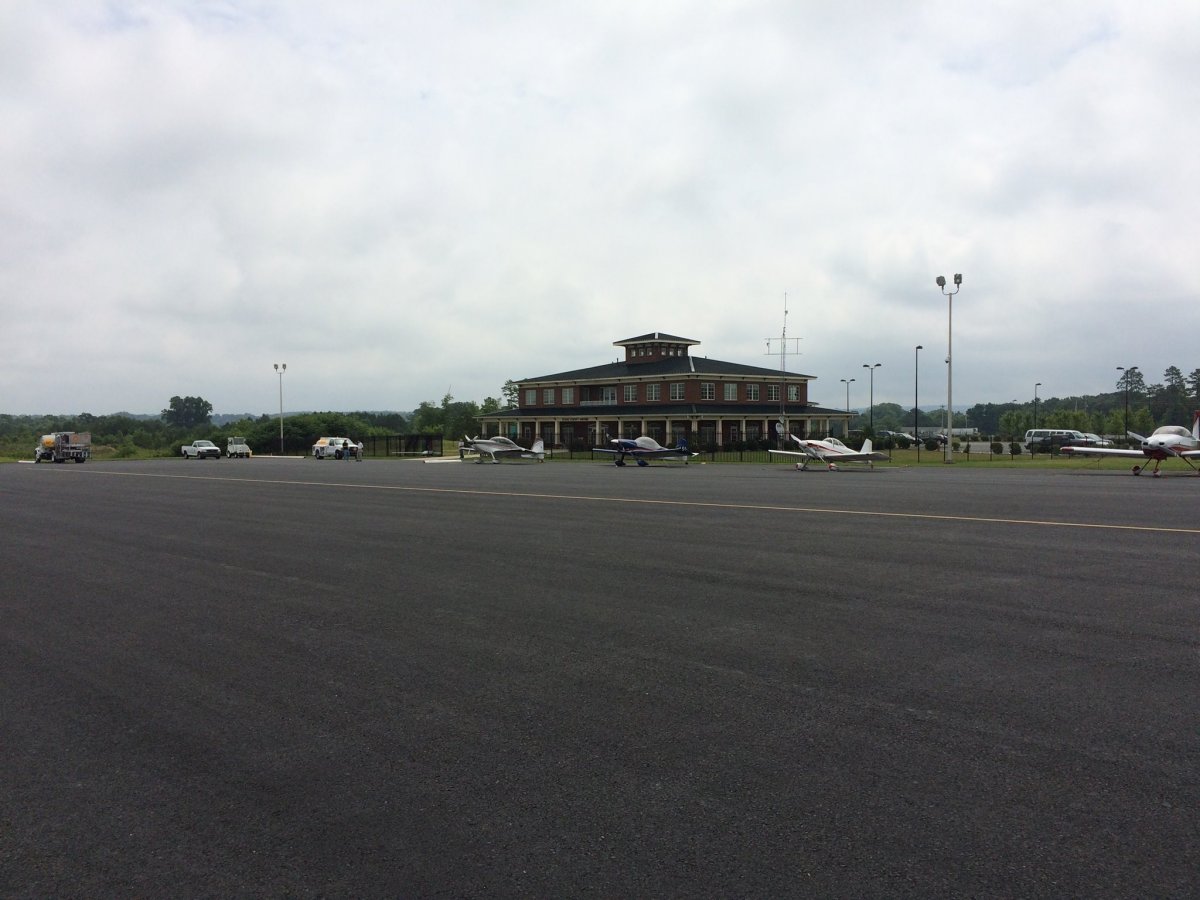
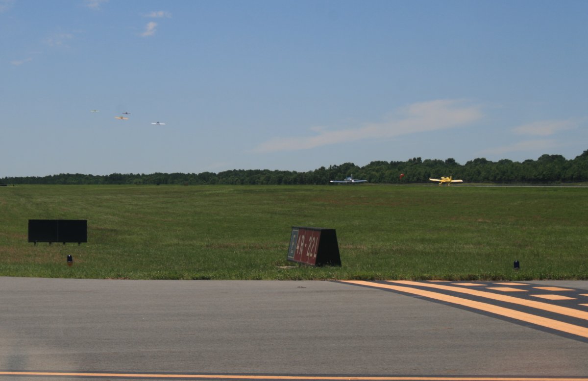
A low overcast greeted us Saturday morning. All 40+ RV pilots just hung around the FBO building around for the clouds to burn off. To fill time, Widget gave an interesting brief on large formation flights. By noon, the overcast still hadn't burned off and I thought we were going to lose the day. Stanly County has a very nice FBO building, by the way.
|
| |
 |
|
|
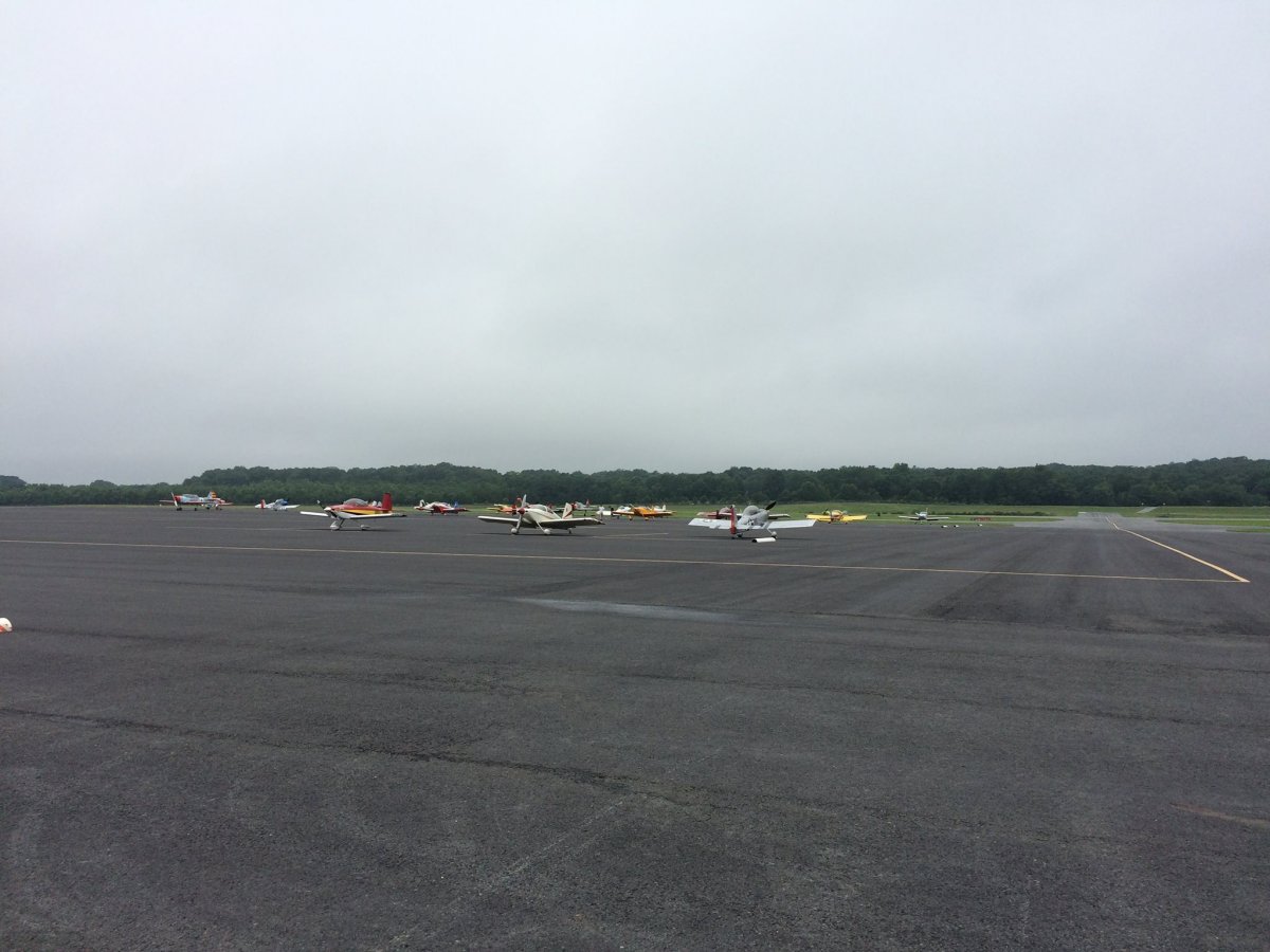
No one is flying this morning.
|
| |
 |
|
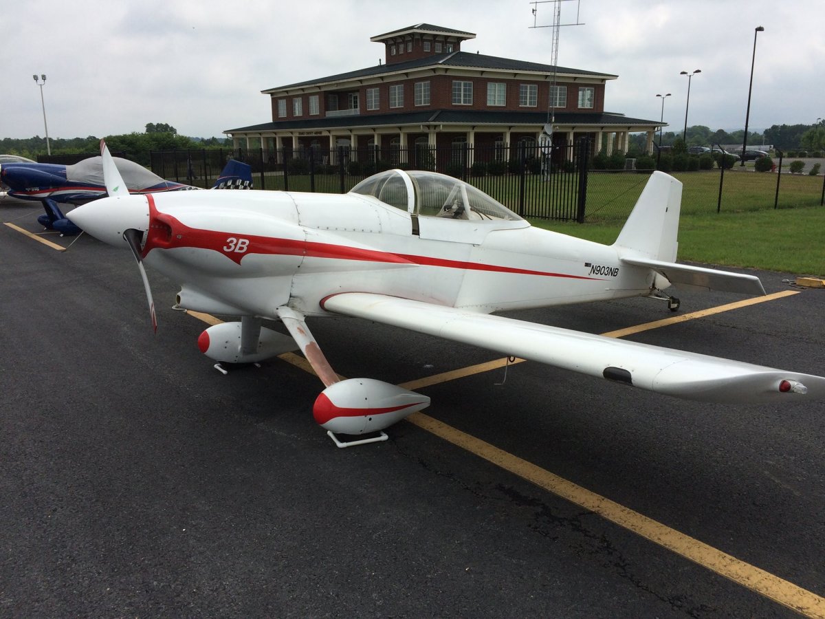
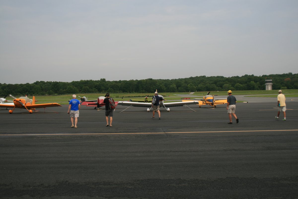
| To kill the time, I walked around and checked out the other RVs. This was the only RV-3 (single-seater) at the clinic. |
| |
 |
|
| Maybe this newly-completed RV's builder started painting at the nose and ran out of time. |
| |
 |
|
| Half of this RV's panel was empty; maybe put a TV or refrigerator in there ... |
| |
 |
|
|
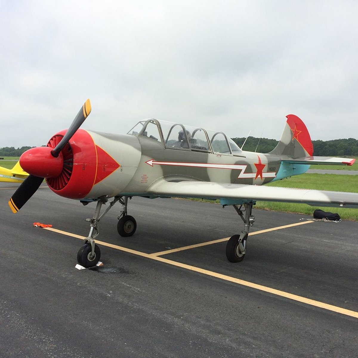
A couple of colorful Yaks were on hand.
|
| |
 |
|
|
Then around 1PM the skies miraculously cleared. Pilots, man your planes!
My first flight was as lead with three inexperienced guys. They all new the procedures and could keep station; they just needed practice, especially -- as everybody does -- with rejoins and echelon turns. I gave them a pretty good workout. The flight was memorable because we were flying around some majestic cumulous cloud formations. I wish I could have captured it on video somehow.
|
| |
 |
|
|
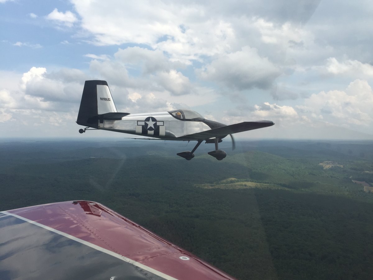
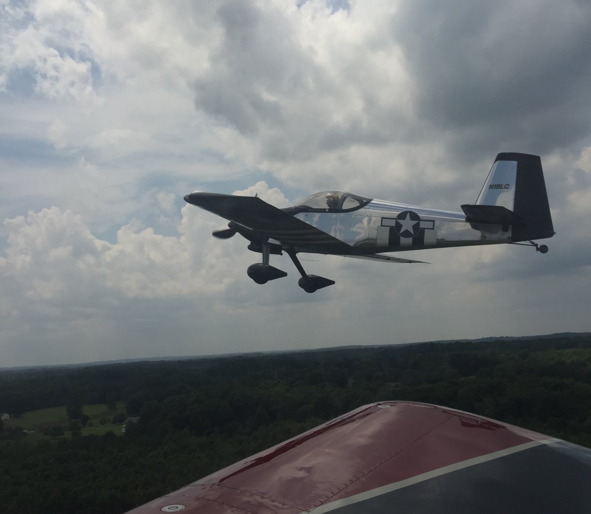
My second flight was as lead again, but this time my wingmen were Kahuna, RG and Hacker -- all Team AeroDynamix pilots! I'm not sure what the intent was, but I enjoyed flying as lead with expert wingmen, and learned a few things as always. This picture was taken by a passenger in Kahuna's SuperEight.
|
| |
 |
|
|
My third flight was again as lead, again with three non-wingman card pilots. The weather had deteriorated -- with rainshowers in the vicinity -- so I kept the airport in sight at all times making sure no rainshowers were moving in. We were able to get the flight in and the wingmen got some good work.
We enjoyed a group dinner at the Sagebrush Steakhouse that night, talking flying over steak and beer.
|
| |
 |
|
|
Sunday morning brought perfect flying conditions. Normally a single "All Up" mass formation flight is done on Sunday at formation clinics but because yesterday's schedule was shortened due to the weather, and because we had a large number of new guys, it was decided to do more 4-ship work instead of the All Up.
My first flight was as wingman in a 3-ship, with "Hacker" -- a Team Aerodynamix pilot -- as lead. He worked us pretty good and it was a good flight. I was lead again in the second flight, with three non-wingman card pilots. I gave them some good practice, especially rejoins. The final flight was as #4 in an all otherwise Team AeroDynamix flight. RG was lead. Each of us had an FBO-related passenger; the flight was to thank the FBO personnel for their great support the last three days. RG took us through all the normal 4-ship routines, but it was non-stop, one move after another, done very quickly. I worked hard to do a good job as #4, doing everything quickly and not holding things up. I felt pretty good afterwards that I had been able to hold my own with the Team AeroDynamix pilots. My passenger really enjoyed the flight. He was clearly amazed at what we do up there on one of these flights.
With that, the clinic was over. I got fueled up and then it was time to head for home.
|
| |
 |
|
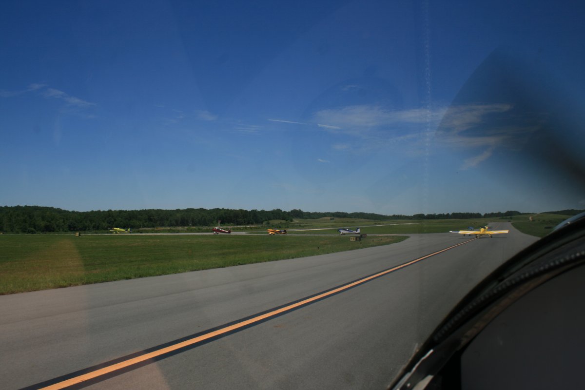
| For obvious reasons, I was unable to take any pictures while flying form, but I did get a few pictures of this six-ship taking off. |
| |
 |
|
|
Lined up two by two on the runway.
|
| |
 |
|
| There they go. It reminded me of Kansas City two years ago, only then there were 24 pairs taking off! |
| |
 |
|
|
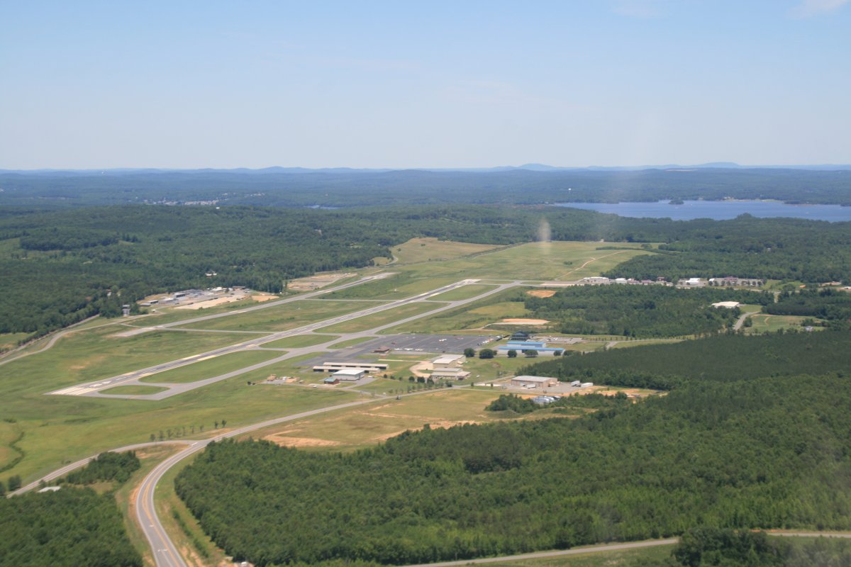
A look back at Stanly County before heading for home.
|
| |
 |
|
|
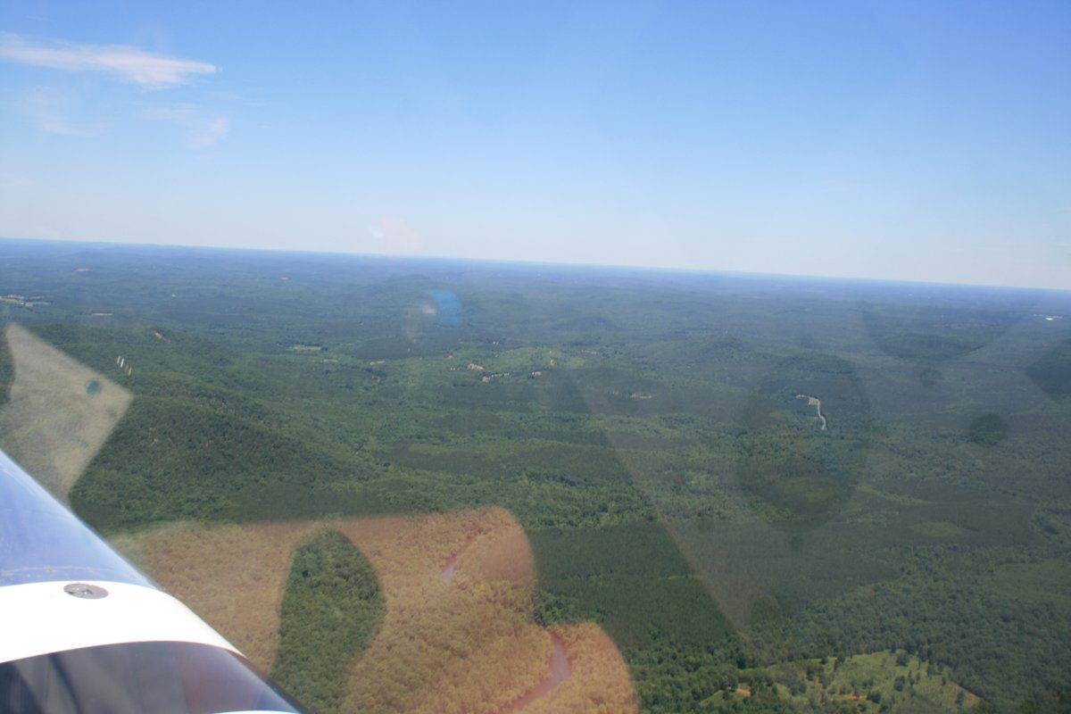
You know, North Carolina has a fair amount of trees.
I had wanted to stop at the Pik-n-Pig restaurant which is on an airfield 30 miles to the east of Stanly County airport. But as I approached, I received indications on the Unicom frequency that it might be closed. I flew over it anyways and the parking lot was empty. Dang! I've been there a couple of times and was looking forward to some good North Carolina BBQ. Oh well. I climbed up to 7,500 feet and then I was able to hear the guy on the field's hand-held radio. I hadn't been able to hear him when I was down low. He said they always closed the week before the Fourth of July holiday. The funny thing was, other pilots had had the same idea I had and were inbound. So for awhile, I was doing a little comm relay, telling pilots the Pik-n-Pig was closed for the week. At least five planes had been inbound for lunch.
|
| |
 |
|
|
I had had enough challenging flying the last few days and I wanted an easy, comfortable ride home. Up at altitude, the air was smooth and cool. All I had to do was follow the pink line on the GPS.
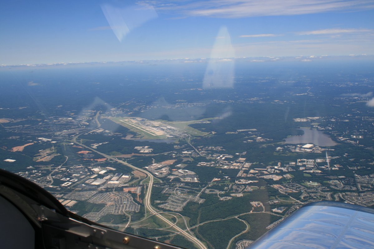
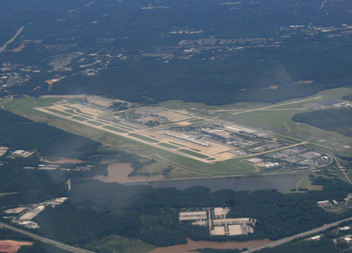
Here, I'm approaching Raleigh-Durham International Airport (KRDU). I'm above their Class C airspace.
|
| |
 |
|
| |
| I landed the RV-7 here a few years ago, having flown down for work. |
| |
 |
|
|
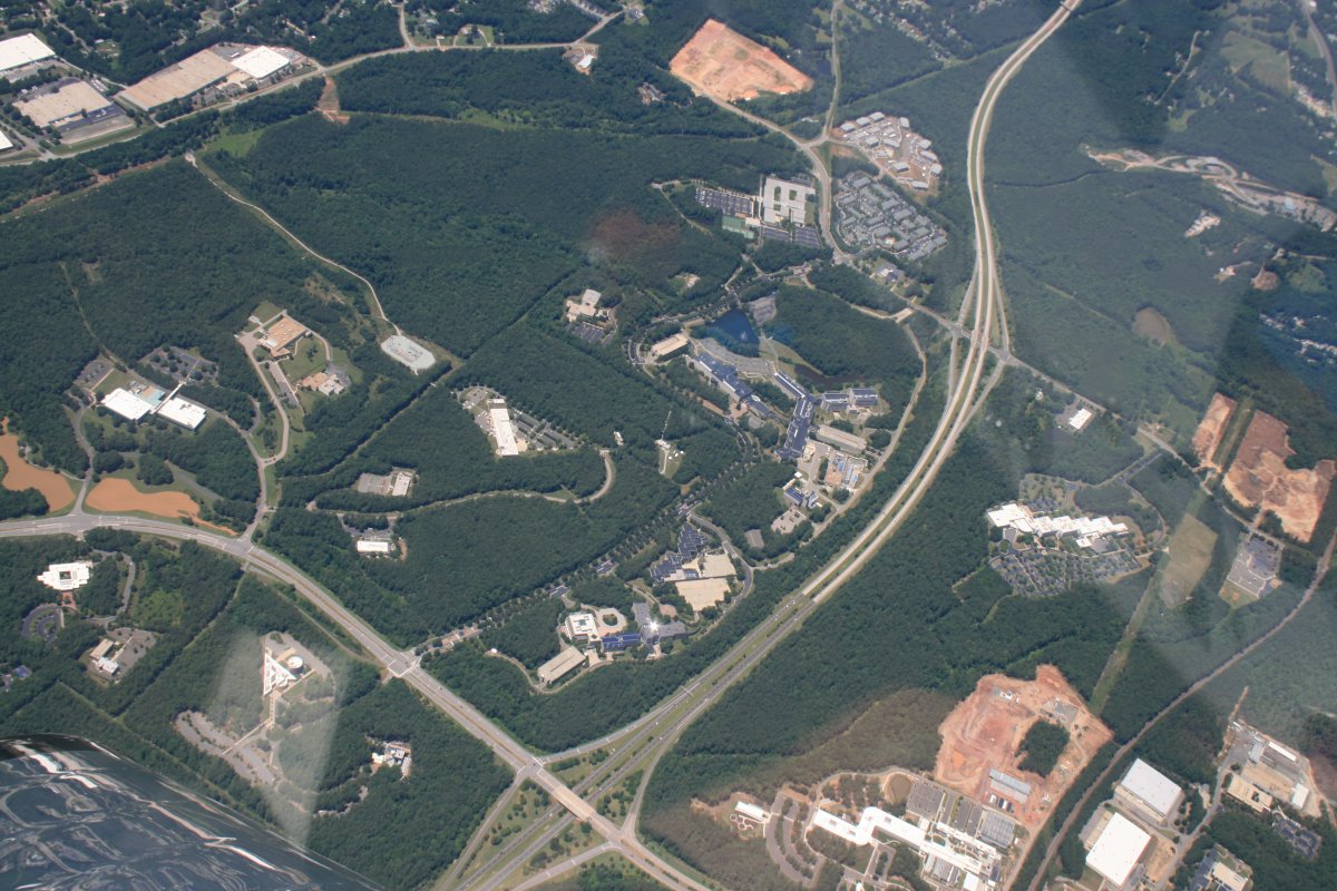
Looking down at the famous Research Triangle Park (RTP), one of the most prominent high-tech research and development centers in the U.S. The company I work for has an office down there somewhere.
|
| |
 |
|
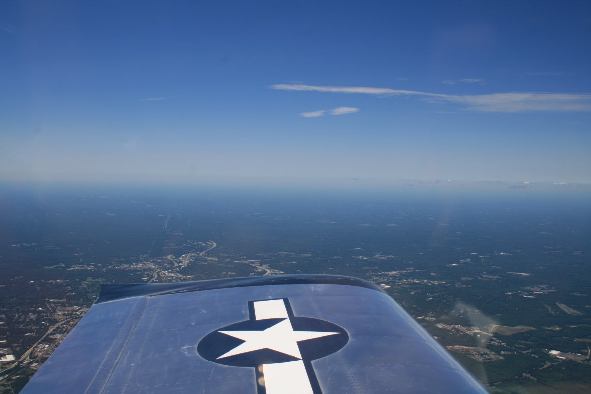
| Enjoying some severe clear. |
| |
 |
|
|
But travelling as fast as the RV does, the weather is going to change. It's starting to cloud up.
|
| |
 |
|
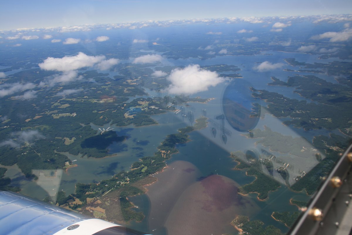
| Looking down at a big reservoir lake north of Raleigh-Durham. |
| |
 |
|
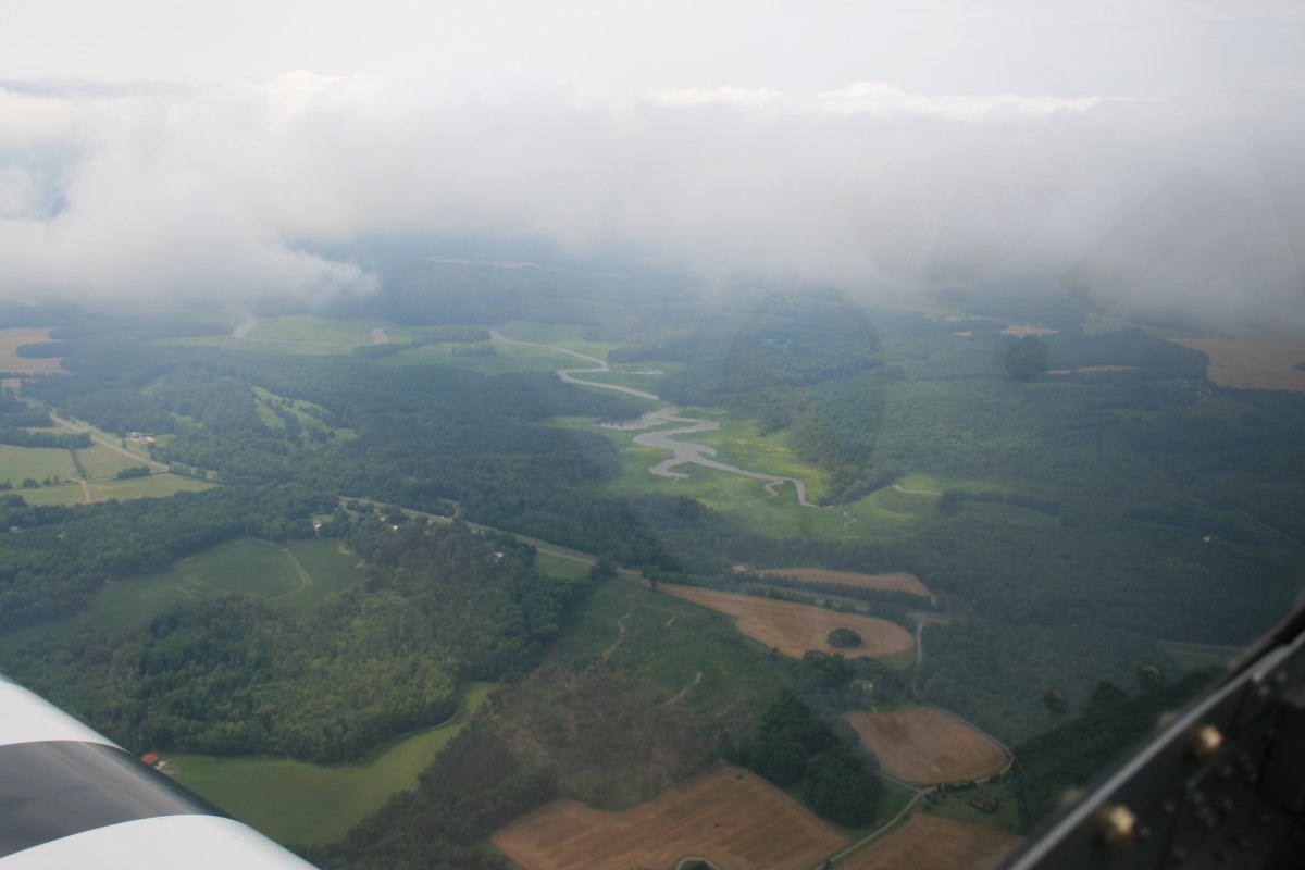
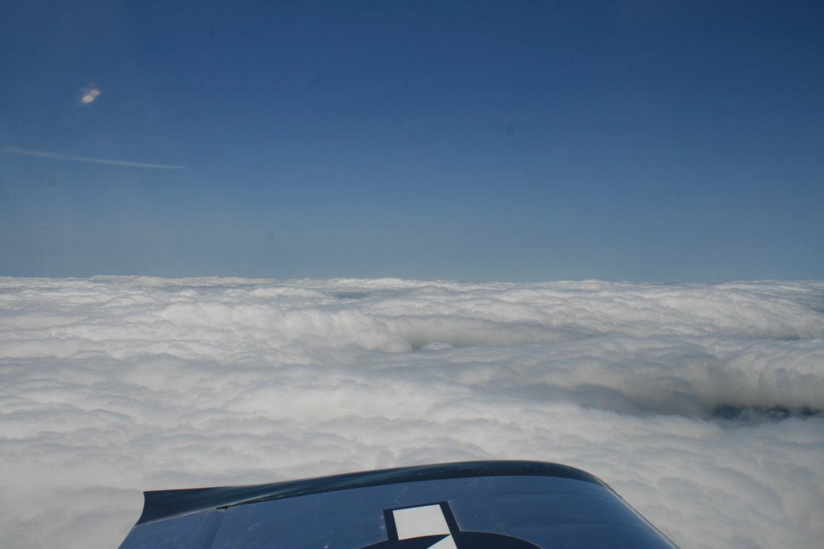
| Soon I was flying on top of an almost unbroken layer. |
| |
 |
|
| |
| Thanks to the onboard XM-Satellite weather, I knew it was clear ahead so didn't worry about flying on top. Plus there was an occasional hole. |
| |
 |
|
|
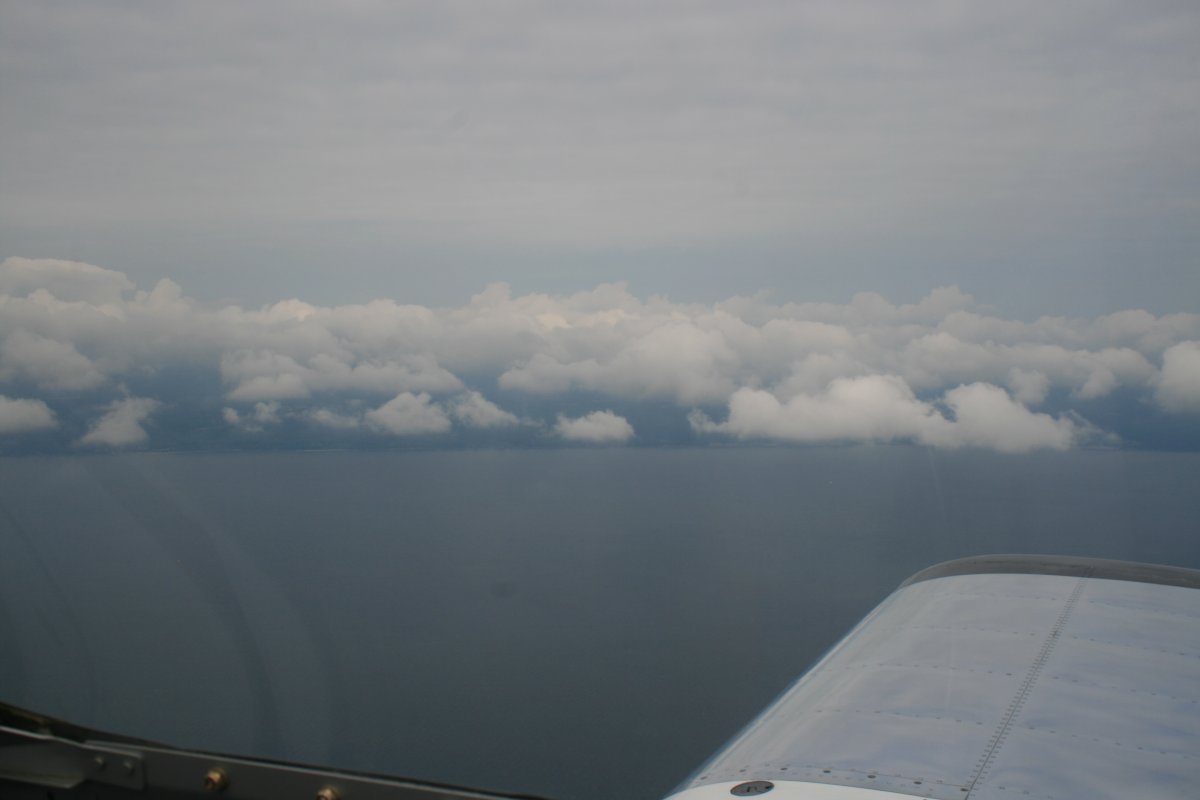
Sure enough it broke up as I approached the Chesapeake Bay.
|
| |
 |
|
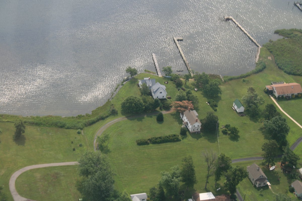
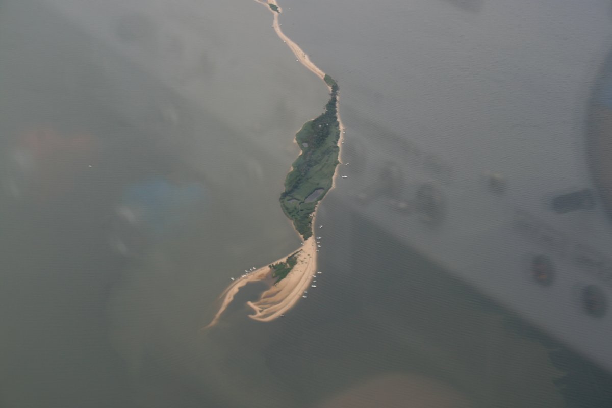
| In the summer, the boaters head for the sand bars. I don't blame them; that's what I'd do if I had a boat. |
| |
 |
|
|
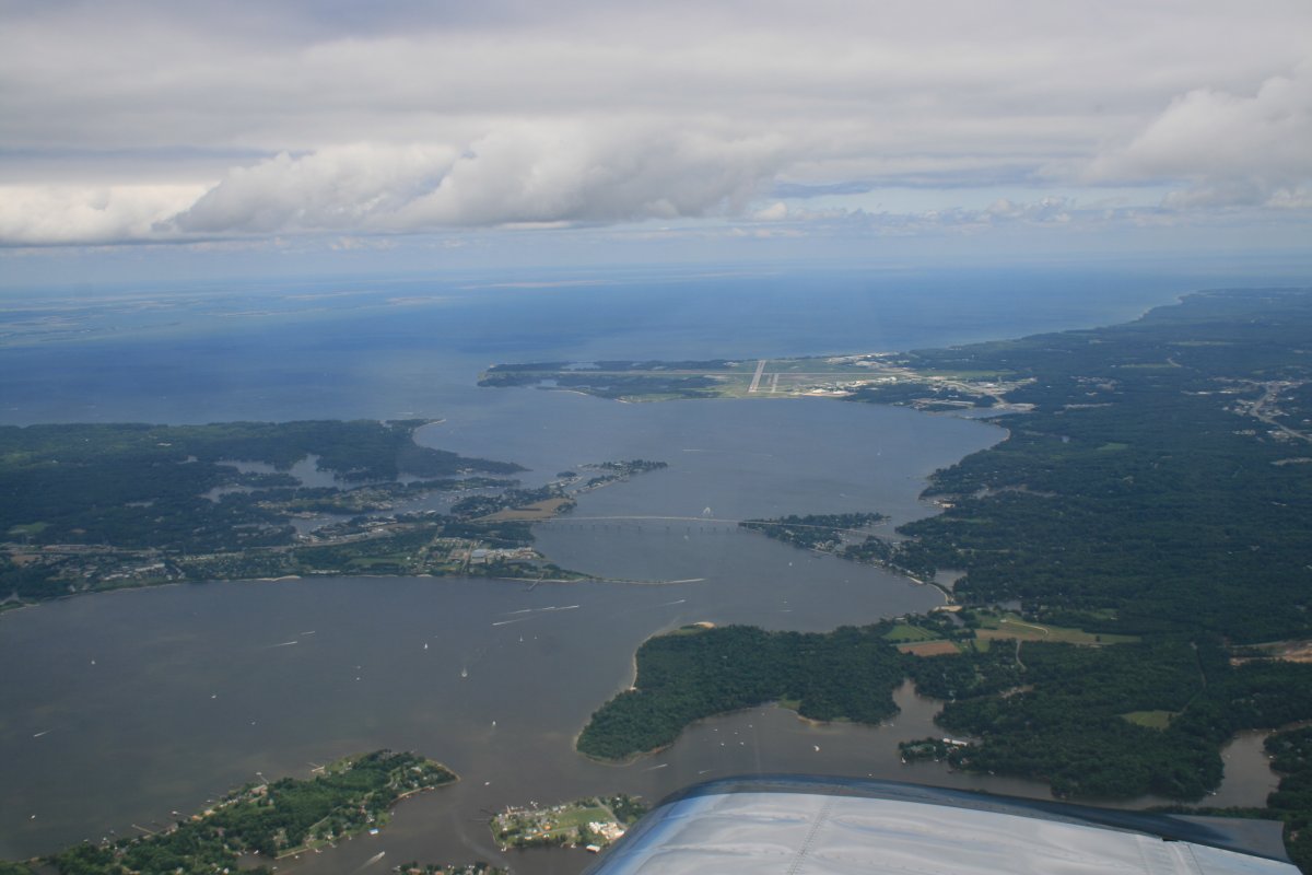
Looking southeast at Patuxent Naval Air Station.
|
| |
 |
|
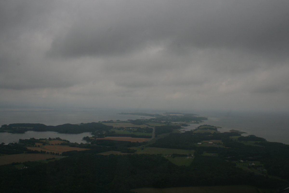
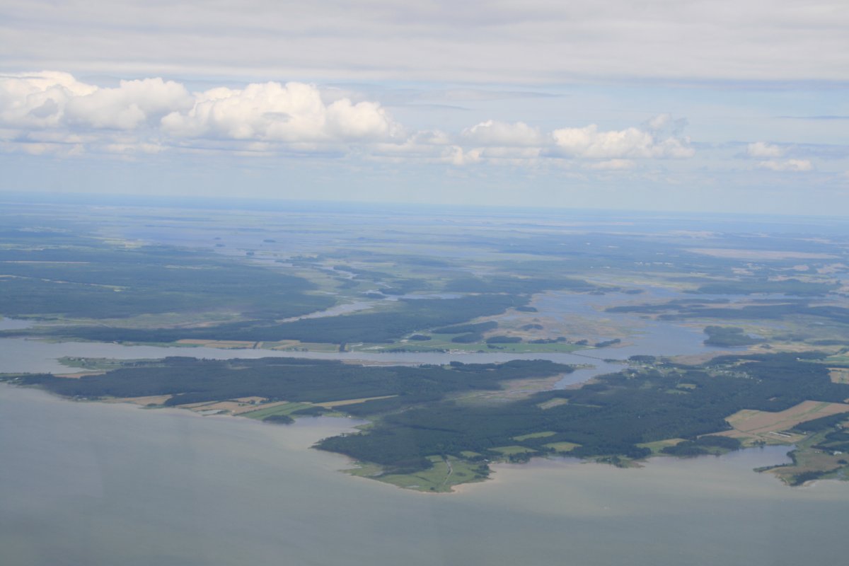
| Looking southeast again, this time at the Blackwater National Wildlife Refuge, just south of Cambridge and where the Choptank River joings the Bay. |
| |
 |
|
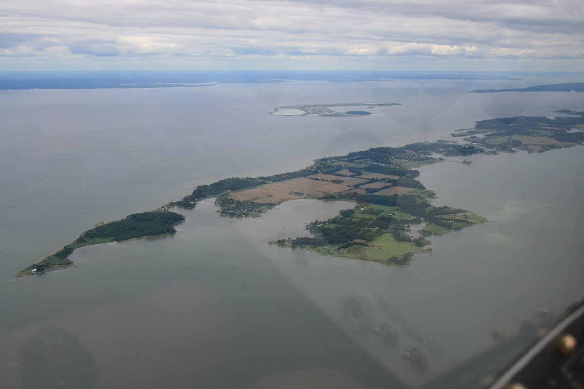
| Approaching Tilghman Island from the south. |
| |
 |
|
| |
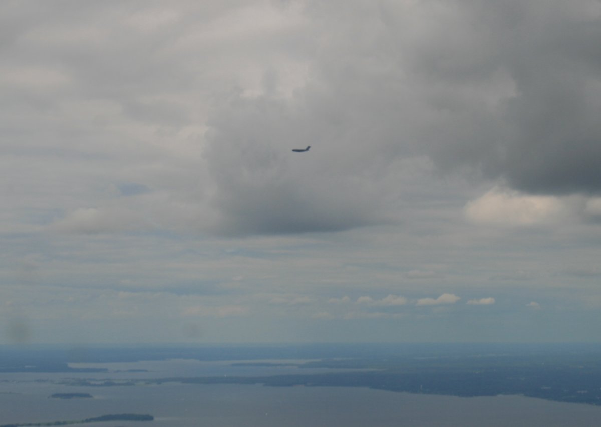
| A big C-17 Cargo plane passes in front of me, on approach to Andrews Air Force Base no doubt. |
| |
 |
|
|
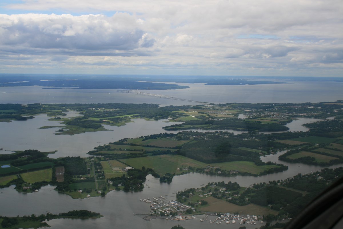
The Chesapeake Bay Bridge clearly visible on a day of outstanding visibility.
|
| |
 |
|
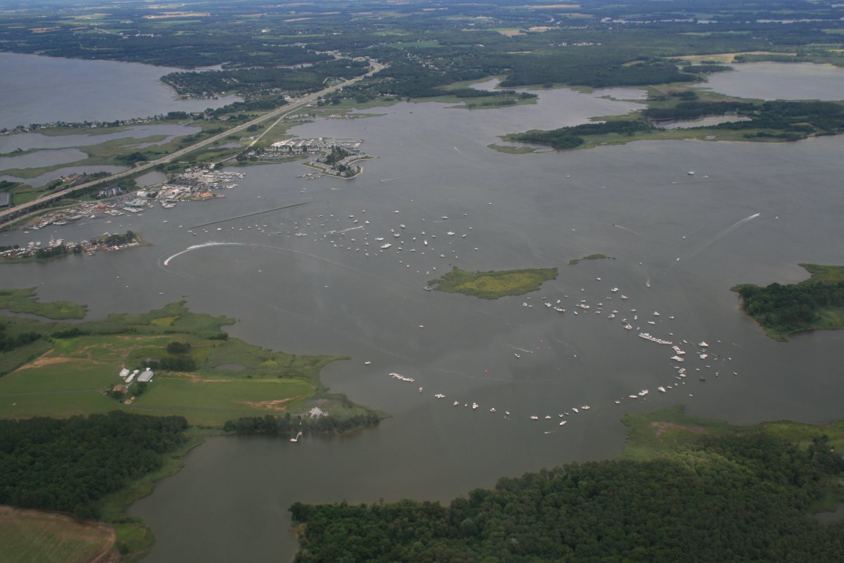
| A boat race of some sort was taking place near the Kent Narrows Bridge. |
| |
 |
|
|
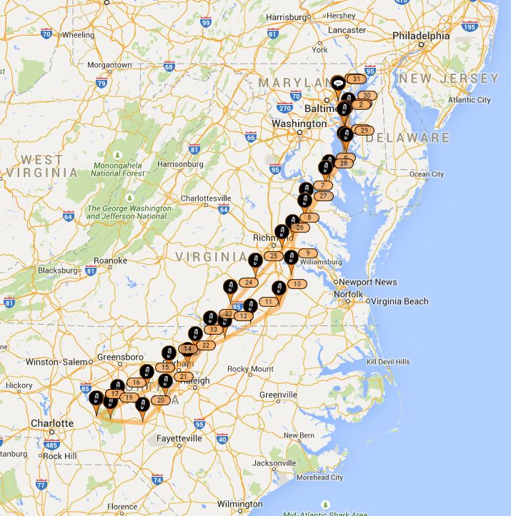
My route.
|
| |
 |
|
| |
| |
|
|
|
|
|
|